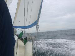
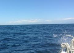
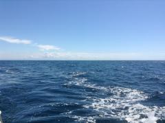
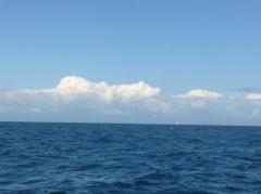
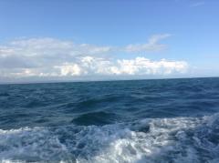
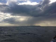
Nervous sailors worry about losing sight of land, but how did people navigate before even the compass? Iron Age trade between the Continent and England made South Coast ports like Radipole, Hamworthy and Hengistbury important destinations, but how could sailors make reliable landfall with their cargoes? This series of pictures gives a simple clue, showing the coasts of both England and France - in the sky.
By mid-morning even before the sky has cleared, and long before the coast of France disappears from view, cumulus begins to develop over Purbeck, providing the navigator with a heading – Weymouth to the left, Christchurch to the right of the cloud. To the left, cloud over Dartmoor nearly 100 miles away, gives another bearing, while cloud streaming off the Cotentin gives the direction for La Hague at its westerly end, and Cherbourg in the middle. Cumulus continues to rise as the sky clears and developed shower cloud over Purbeck suggests wind as well. Finally a squally shower off Portland confirms the instability which has provided the means to navigate, and which only dies down in the late evening. Cheaper than a chart plotter...
Steve Fraser
Cruiser Class Captain

